Trends
Long-term change in mountain systems — from lake sediments recording past climate to today's retreating glaciers.
People and methods
Folgefonna
A research centre hosted by the University of Bergen, with partners at NORCE in Bergen and NMBU in Ås, studying how Scandinavian mountains, and the people who depend on them, respond to a rapidly changing climate.
Glaciers are retreating, snow is turning to rain and mountain ecosystems are shifting. We study the whole system across scales: from a square metre of tundra to the entire mountain chain, and from hourly weather to thousands of years of climate history.
CMT is an interdisciplinary research centre based at the University of Bergen, focused on the Scandinavian mountains. We connect field evidence with integrated models of mountain climate, environment and ecosystems.
Our goal is knowledge that matters on the ground: guiding management plans, supporting stakeholders and building resilience in mountain societies — in Norway and beyond.
 Funded byTrond Mohn Research FoundationCMT is funded by the Trond Mohn Research Foundation (TMS) and hosted by the University of Bergen, with partners at NORCE and NMBU.
Our research programme is built around four interconnected themes, each looking at how climate reshapes water, snow, ice and biodiversity in the mountains.
Long-term change in mountain systems — from lake sediments recording past climate to today's retreating glaciers.
People and methodsShifting seasons: shorter snow cover, earlier melt and changing timing of runoff and plant growth.
People and methodsFloods, avalanches, droughts and storms — understanding the hazards that hit mountain communities hardest.
People and methodsHow mountains are valued and managed — working with communities and stakeholders on plans for a safe future.
People and methodsSix ways of looking at the same mountains. Together they connect the deep past, what is happening now, and what comes next.
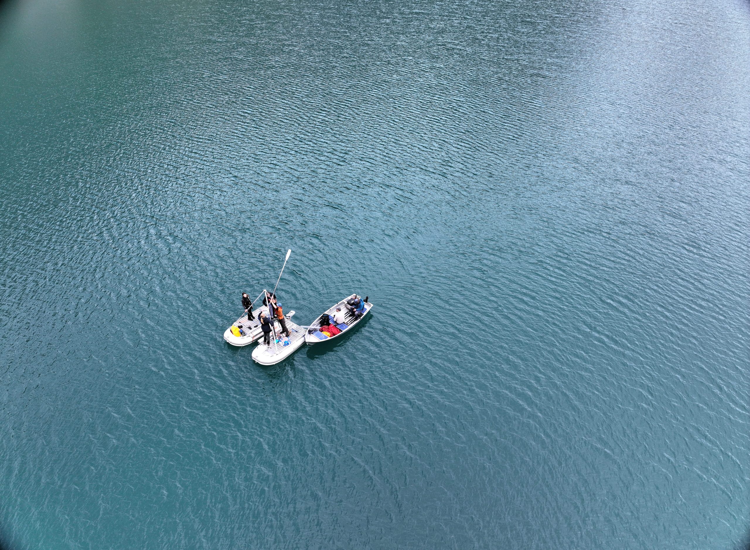
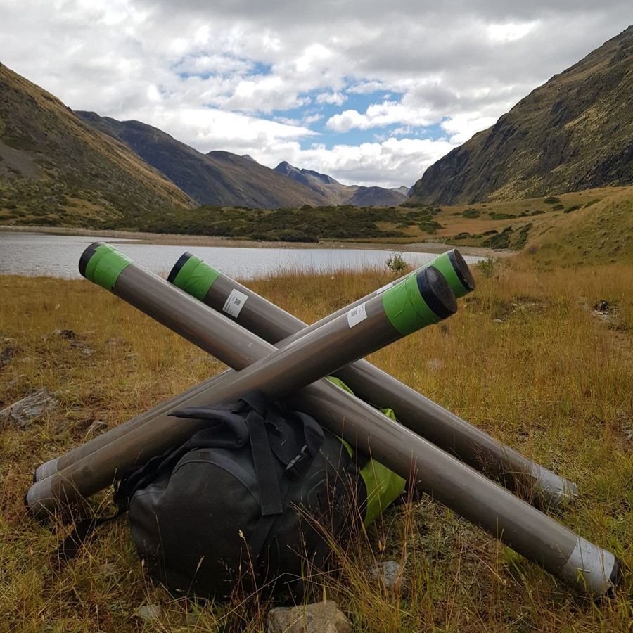
Lake sediments and glacier deposits record thousands of years of climate. Cores from lakes like Bergsfjord show how glaciers grew and shrank long before measurements began.
Weather stations, snow sensors and time-lapse cameras on Folgefonna stream data year-round, from the summit to the valleys.
Regional climate, glacier and hydrology models link the processes together, from heavy precipitation to snowpack, runoff and floods, and project them into the future.
Vegetation plots, resurveys and pollinator studies track how mountain plants and insects respond as snow and temperature change.
Drones, aircraft and satellites map snow, ice and terrain. Repeat photogrammetry and LiDAR measure change to the centimetre.
Deep learning turns satellite and archive imagery into maps of snow depth, glaciers, glacial lakes and avalanches across whole regions.
Our PhD students run a weather station on the summit of Folgefonna and a timelapse camera above Bondhusbreen. Both stream data to this page.
Connecting…
The station went up on 1 May, but its data was only published online from mid-July, so the record starts there. Breaks are periods with no published data.
Updated hourly in daylight. Drag inside the view to look around.
Twice a year we fly the Folgefonna summit with survey drones and rebuild the surface in 3D. Comparing the flights shows how much snow fell over winter and how much ice melted away over summer.
A fixed-wing Wingtra drone photographs the summit in parallel lines, rebuilt into a centimetre-scale orthophoto and surface model.
Featureless spring snow is hard for cameras, so we add spring LiDAR flights and Kartverket's national LiDAR (Aug 2025).
Put any two surveys side by side with Compare, or pick a topic (snow depth, annual losses or total change) and drag the slider. Click anywhere to read the values, or open the story for a guided tour.
From the Folgefonna ice cap and Finse to the lakes of Finnmark. Pick a site to fly there; the terrain is shown in 3D.
Papers by CMT researchers since the centre started in 2025, updated every week. Highlighted names are CMT people: click one to see their profile.
Glaciologists, ecologists, meteorologists, hydrologists and social scientists from the University of Bergen, NORCE and NMBU.
AI for snow in a changing climate. Deep-learning models trained on satellite time series, snow pits, UAV surveys and an IoT sensor network deliver weekly 10 m maps of snow depth and snow water equivalent.
A collaborative study of cryo-climatology in the glaciated Himalaya — combining remote sensing, machine learning and process modelling to map glaciers, snow, permafrost and hazards, with student exchanges and summer schools.
Sustainable use of natural resources in alpine and mountain grasslands under global change. NatuRA compares traditional and present-day management of mountain grasslands in Norway and South Africa, measures the effects of global change, and works with local communities on nature-based solutions for grazing and water use. Funded by the Research Council of Norway and South Africa's National Research Foundation.
More about NatuRA ↗Do your master's thesis with CMT: on the ice, in the lakes or among the alpine plants. These are some of the things we work on, and every project is shaped together with you.
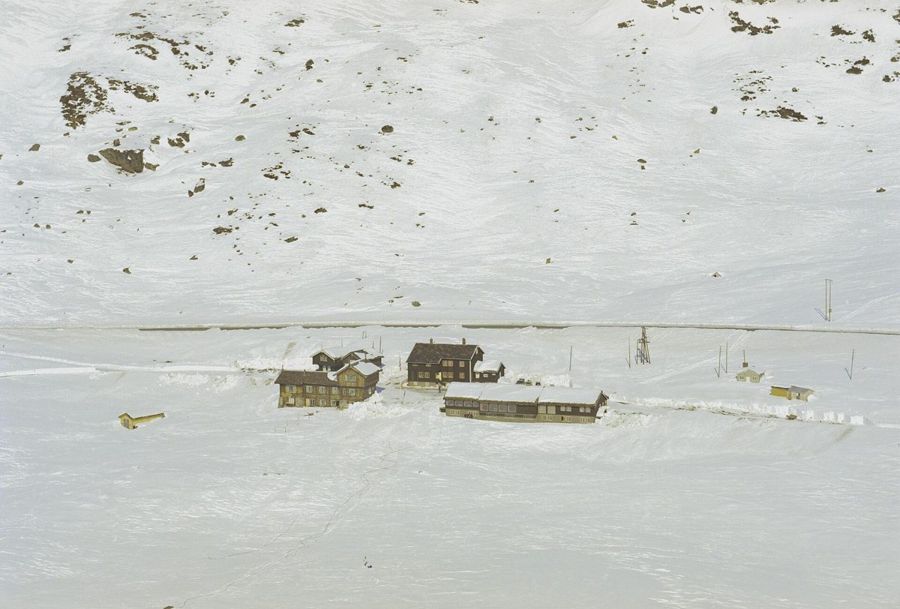
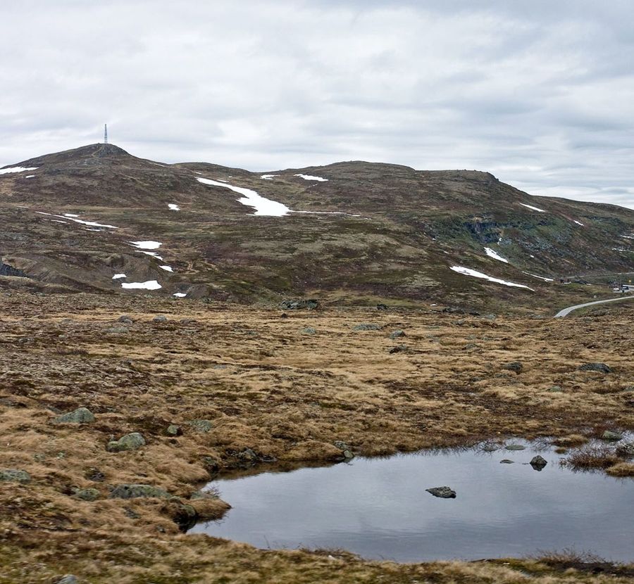
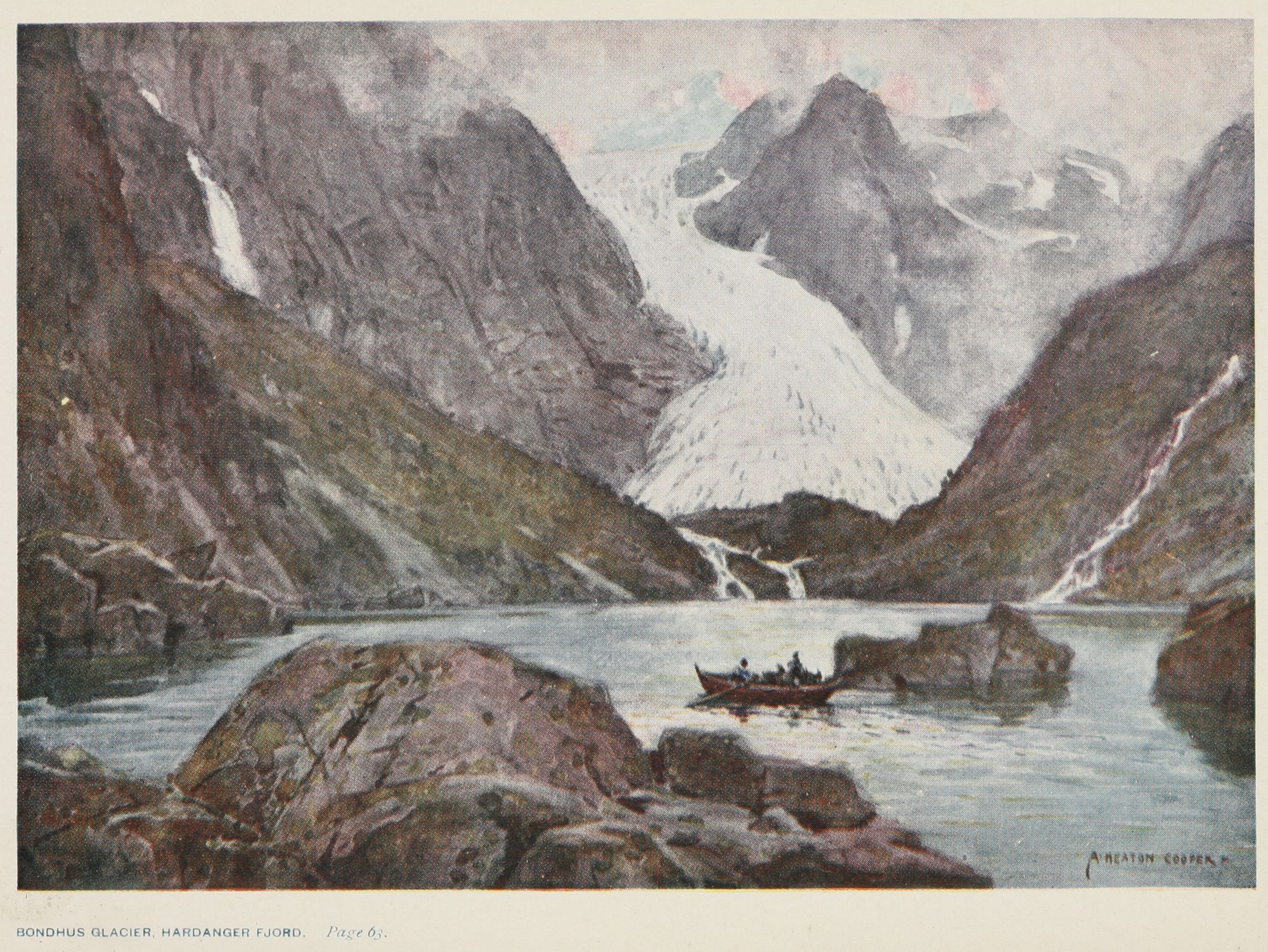
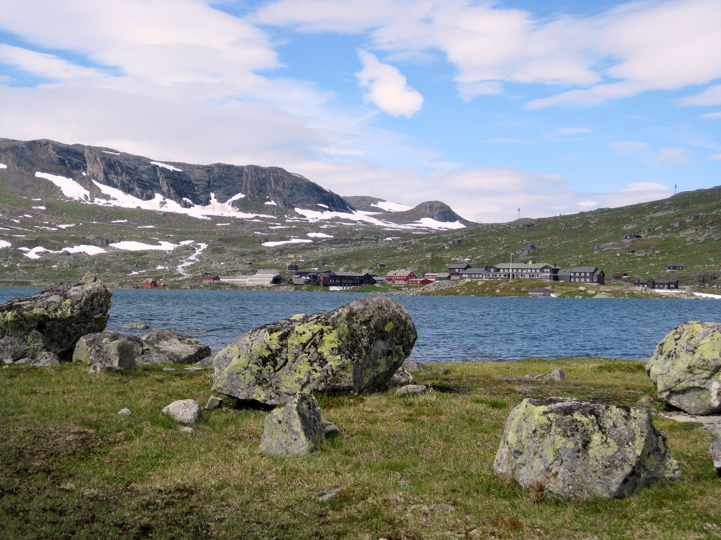
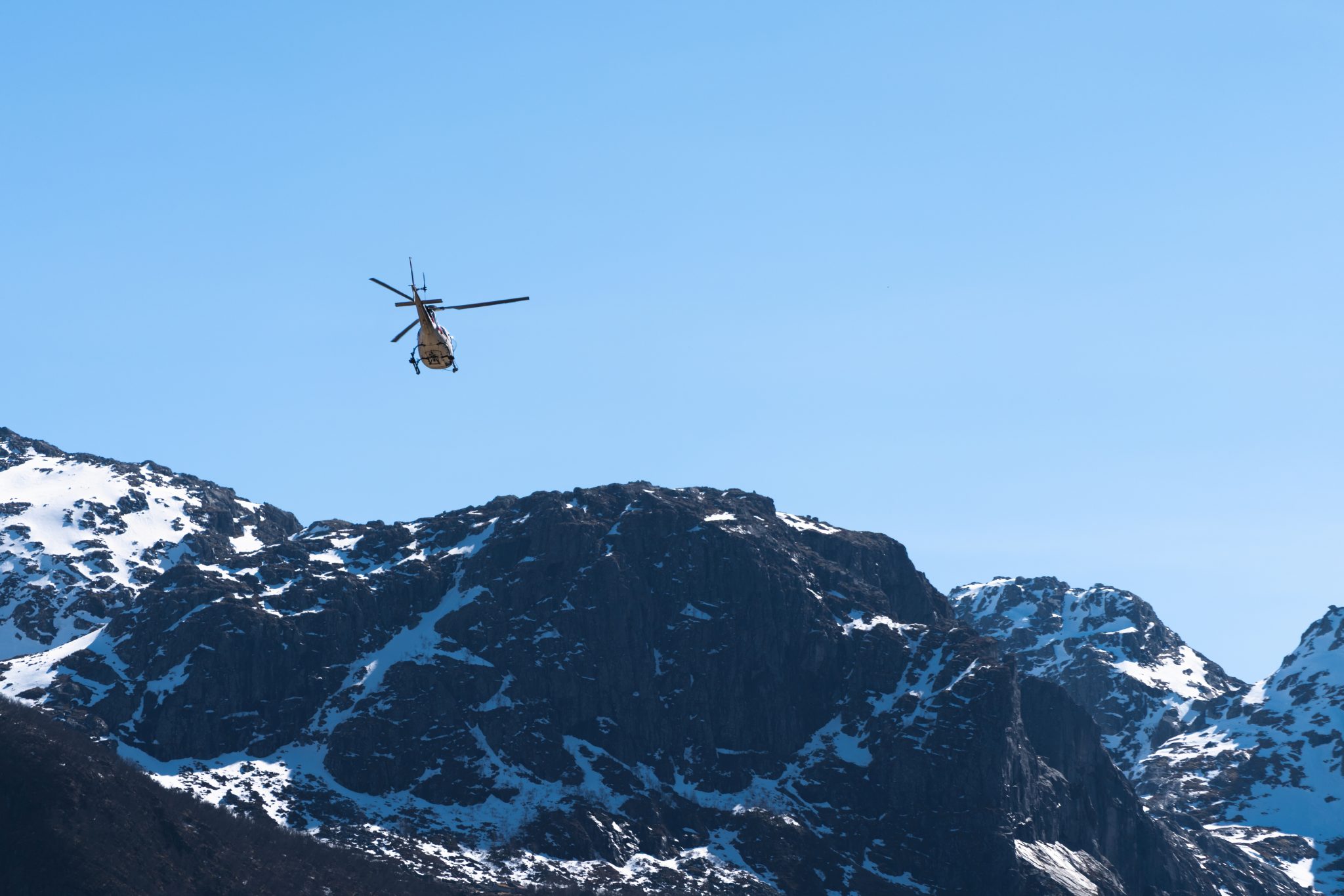
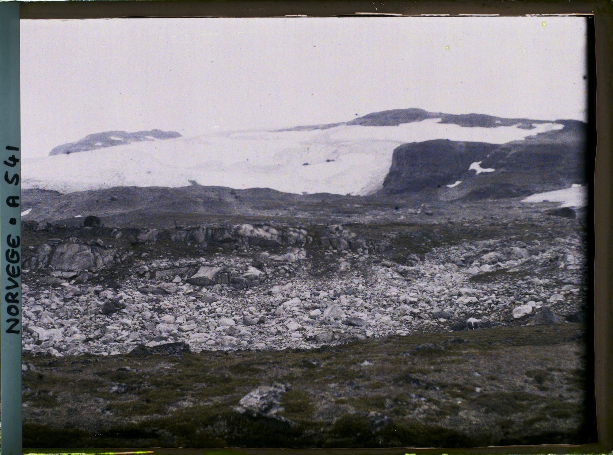
Images and video: glacier crevasses: Benjamin Aubrey Robson; sediment cores: Susie Wood / Lakes380, CC BY-SA 4.0; Breiðamerkurjökull: NASA SVS, public domain; Haukeliseter 1969: Widerøes Flyveselskap, public domain; Niscemi landslide: Gianfrancodp, CC BY-SA 4.0; lake coring at Bergsfjord: CMT; global model: NASA SVS, public domain; Hardangervidda tundra: Sergey Ashmarin, CC BY-SA 3.0; bumblebee: Роман Рябенко, CC0; Bondhus glacier 1909: Alfred Heaton Cooper, public domain; Eqi glacier: Giles Laurent, CC BY-SA 4.0; Finse: Kokoon, CC BY-SA 3.0; reindeer: Edition Records / E2 Music, CC BY 3.0; summit station: Håvard Gjesdal; Vøringsfossen: Marius Arnesen, CC BY 3.0; Hardangerjøkulen 1910s: Léon Auguste, CC0.
Something here spark your interest? Look through our team for a supervisor whose research matches, and contact them directly.
We collaborate with researchers, municipalities, hydropower, tourism and conservation partners. No positions are open right now — check back for future calls.
Trond Mohn